Le Guide de la Charente
Discover our other guides

- Home page
- Tourism
- Discover
- Hiking itineraries in Charente
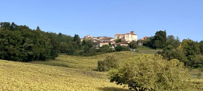
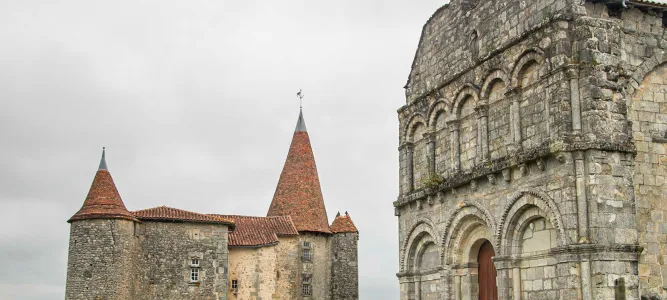
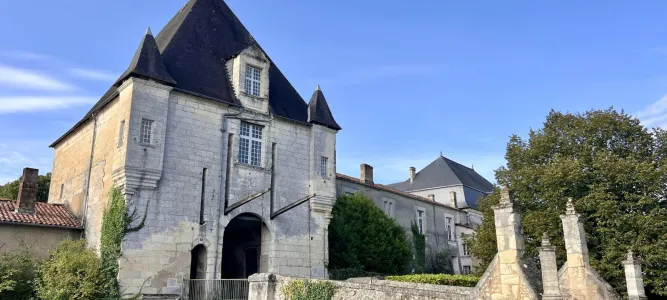
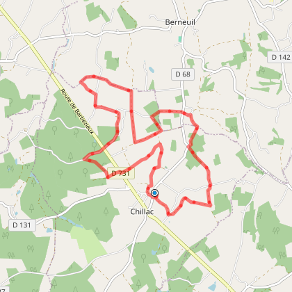
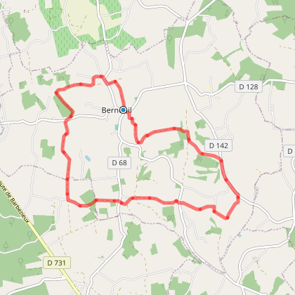
- Passirac
- Sentier des Espaces verts
- Passirac
- Hiking itineraries in Charente
- Discover
- Tourism
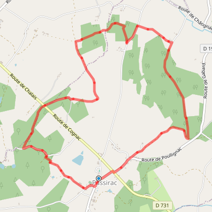
Sentier des Espaces verts
To discover around

Click here to activate the interactive map


You will also like
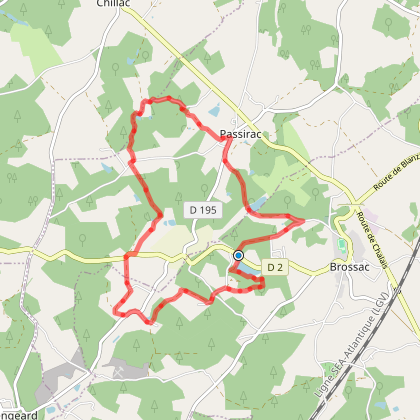
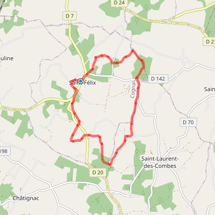
Sentier de randonnée des carrières de Guizengeard
Sentier de randonnée des carrières de Guizengeard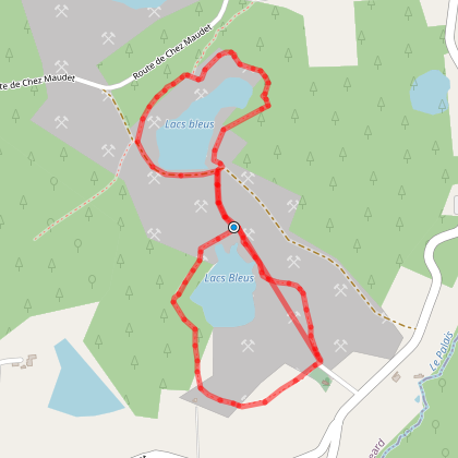
6,2 km - Guizengeard
We tested for you
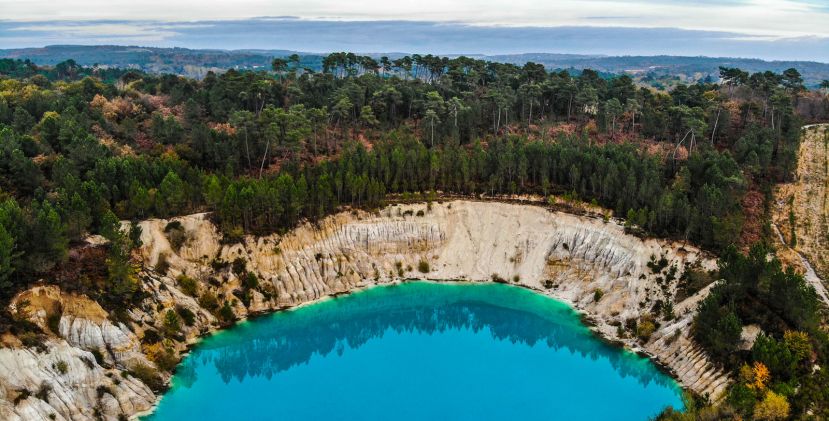
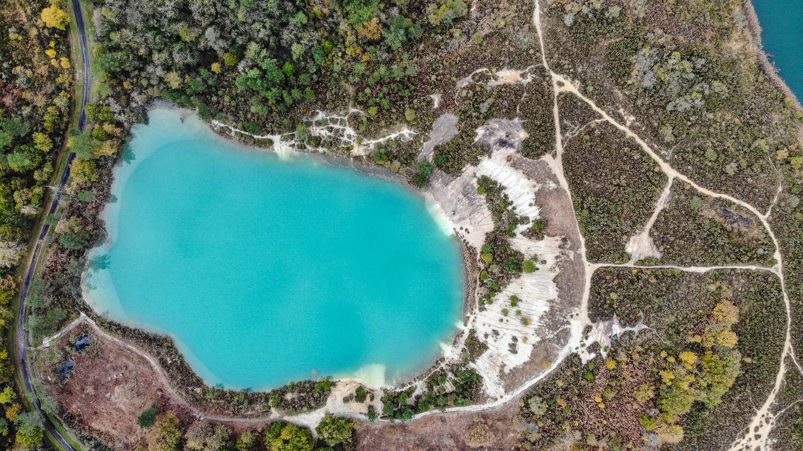
Walk to Lake Guizengeard and its 50 shades of blue
6,1 km
The unusual walk of the Blue Lakes of Touvérac
11,2 km
Visit Aubeterre-sur-Dronne, a jewel in the south of Charente
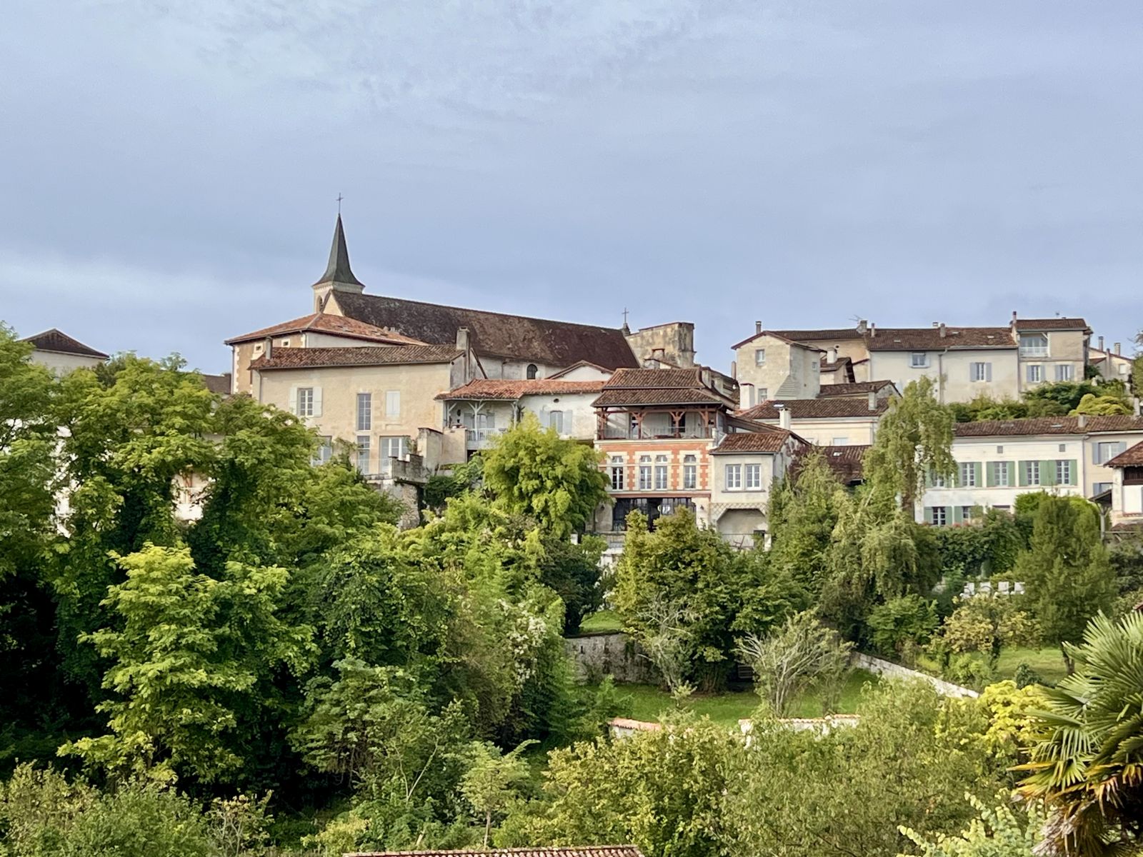
20,1 km
Discovering the Troglodyte Church of Aubeterre-sur-Dronne: A Spiritual and Historical Journey
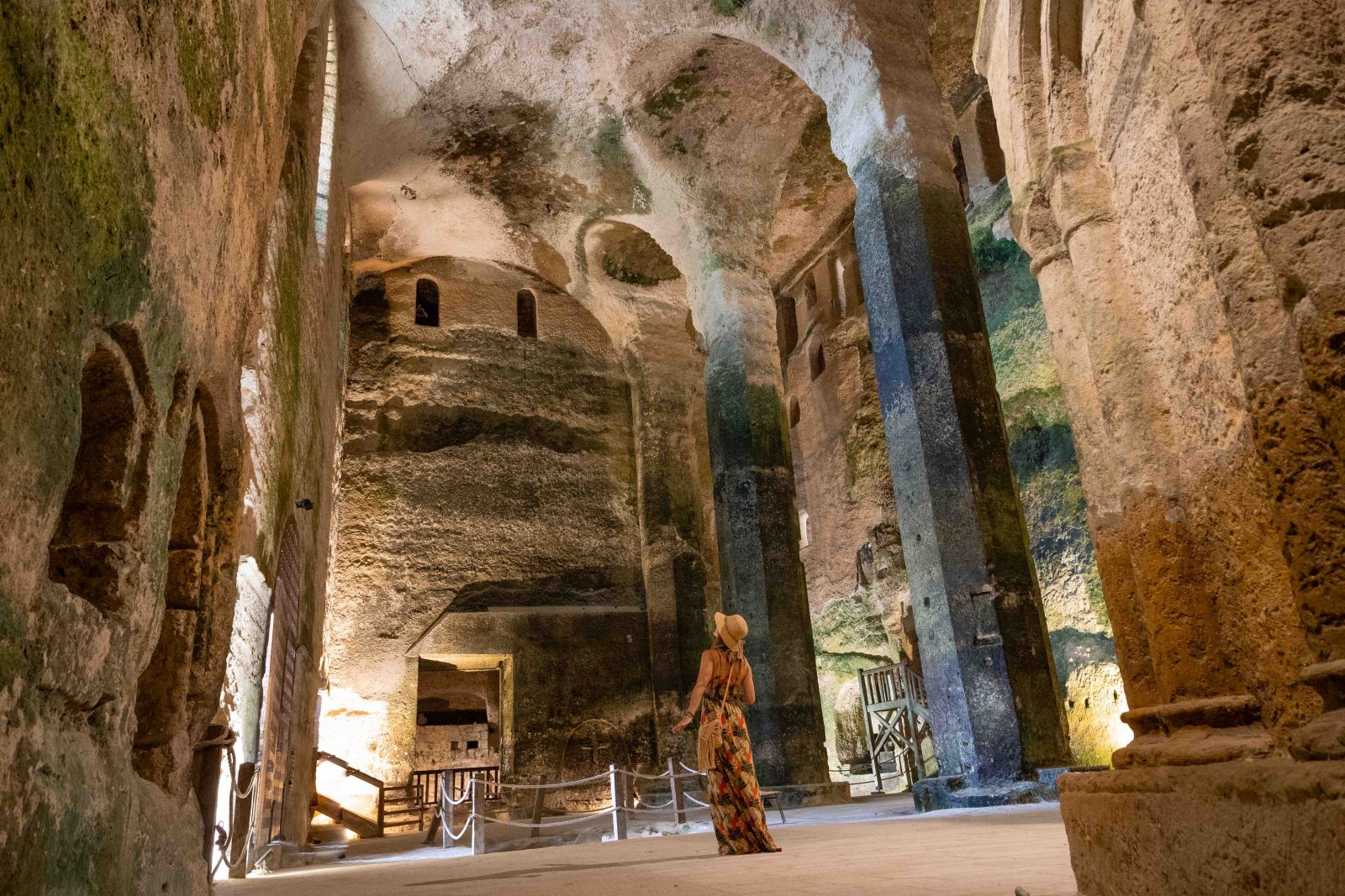
20,1 km
Destination Angoulême: Our Must-Sees for a Weekend

37,9 km
The top 5 must-see museums in Angoulême

37,9 km
Christmas in Angoulême, a plunge into the magic of the holidays

37,9 km
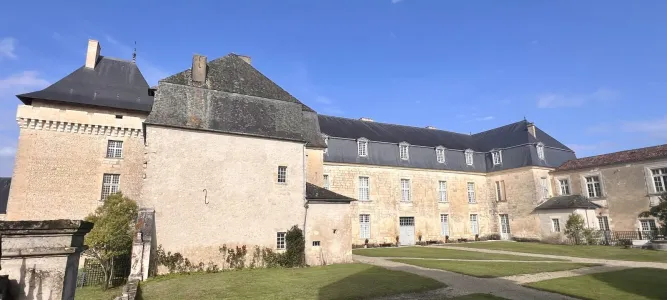
Château de Lasfonds, a French escape in an exceptional setting in Charente
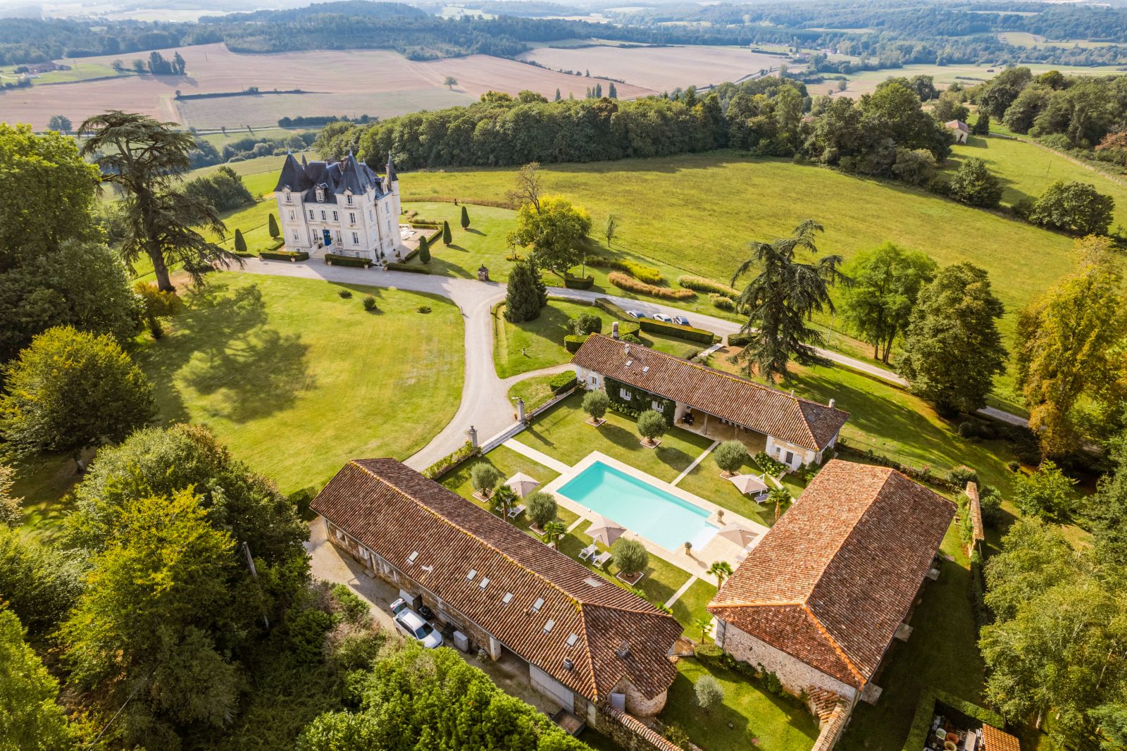
40,8 km