Le Guide de la Charente
Discover our other guides

- Home page
- Tourism
- Discover
- Hiking itineraries in Charente
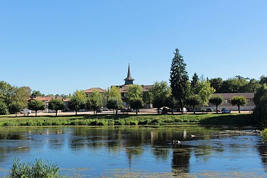
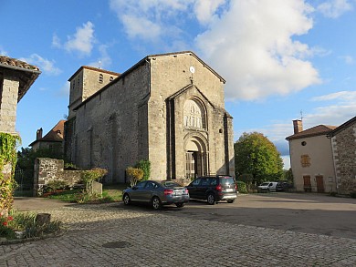
- Exideuil-sur-Vienne
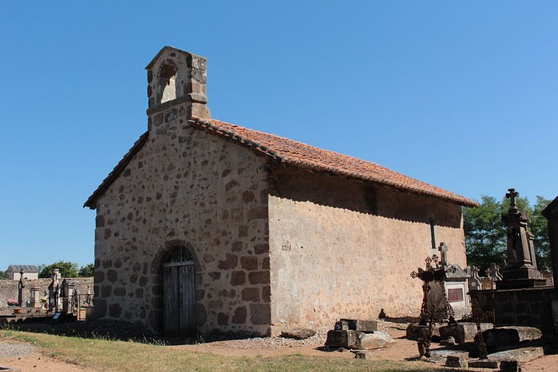
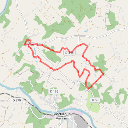
- Chirac : Les étangs et villages brulés
- Exideuil-sur-Vienne
- Hiking itineraries in Charente
- Discover
- Tourism
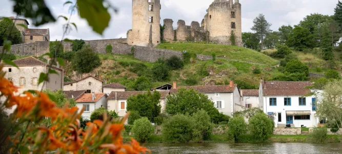
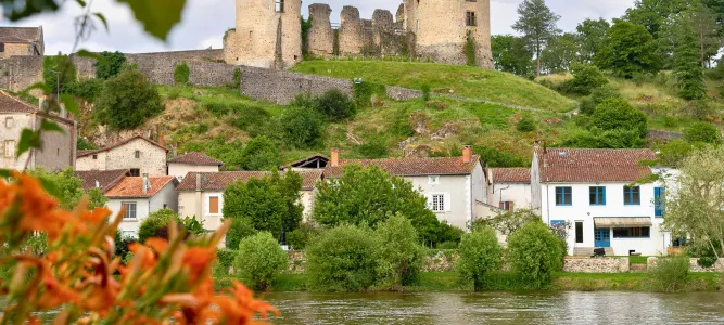
Chirac : Les étangs et villages brulés
To discover around

Click here to activate the interactive map


You will also like
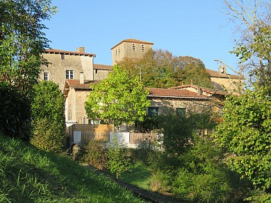
Chirac : sentier de la vallée de la Vienne
Chirac : sentier de la vallée de la Vienne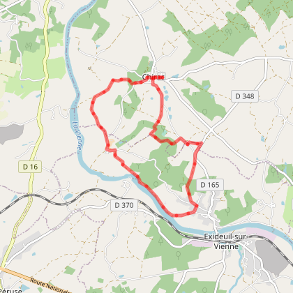
172 m - Roumazières-Loubert

We tested for you
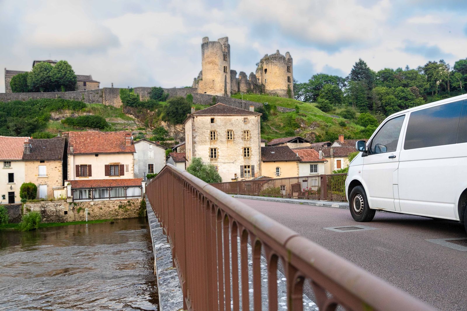
Road Trip in Charente Limousine: Confolens and the Vienne Valley
11,1 km
Remembering our Heroes: The Resistance Memorial in Chasseneuil-sur-Bonnieure

18,9 km
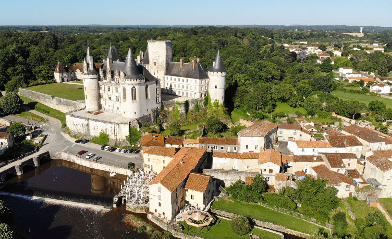
A royal day in La Rochefoucauld
28,7 km
Destination Angoulême: Our Must-Sees for a Weekend

48,8 km
The top 5 must-see museums in Angoulême

48,8 km
Christmas in Angoulême, a plunge into the magic of the holidays

48,8 km
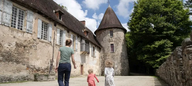
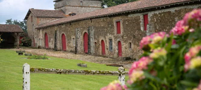
Château de Lasfonds, a French escape in an exceptional setting in Charente
50,6 km
Learn the Art of Mixology in Cognac

80,4 km